
I have already shared some bike routes in Northern CA, but this ride is a bit different. For reasons I have not fully discovered, it is a route I have ridden more than any other.
Part of it certainly is that it ends at a train stop, which makes for a great, longish ride without the need to worry about how to get home. It is a bit more complicated in these COVID-19 times, but when I started riding it, that was one reason.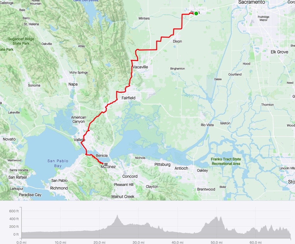
It is also a ride that maximizes diversity–going from the Central Valley floor, skirting the coastal mountains, and ending with great views of the Bay–and on clear days, views of San Francisco.
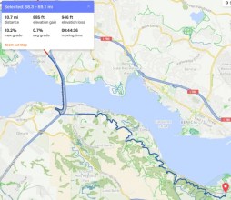
Anyone who rides significant distances will tell you that riding 50 miles on a perfectly flat terrain–like we have here in the Central Valley/Northern Delta–is more fatiguing than the up and down of a ride like this one. Just under 3000 feet of climbing and some rolling hills get you out of the saddle and make for a more enjoyable and less tiring ride.
And for a nearly 70-mile ride, this is a very low-stress ride. I got out early (just after 7:00), and had it not been for some car club group (10 cars zooming by), no more than 15 vehicles would have passed me the entire ride. The last 10 miles are mostly on a mixed-use (no cars) paved trail, and that is always an excellent way to finish up.
I recommend this ride with the north wind blows in the Central Valley. It will push you to Martinez. If the south wind is up in the Valley, be ready for a challenging ride from the north side of Fairfield to the Carquinez Bridge. You will be tired.
This is an all-season ride here in Northern California. If the north wind is blowing, you will likely get the clearest skies and the best opportunities for pictures.
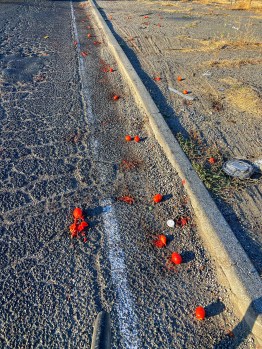
Today I had little wind until I hit the south/west side of Fairfield, and then it was pretty consistent and strong. The sky was the profound blue we take for granted here, but there was a haze to the Bay.
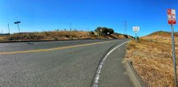
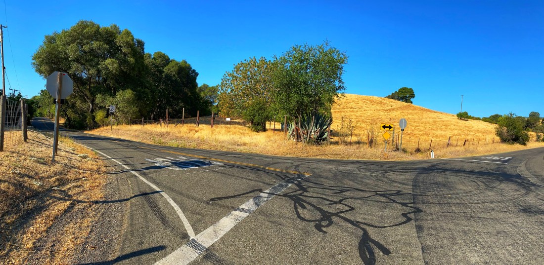
My favorite parts of the ride are an 8-mile section starting at the junction of Pleasants Valley Road and continuing to Lyons Road until it ends in Fairfield. This section has the kind of rolling hills I grew up with in PA, and it feels effortless (and fast!).
There is an optical illusion when you join Pleasants Valley Road. It looks like you are going up, but when you get on the road, you feel like it is downhill. I have not figured it out yet. Skimming along the freeway on Lyons is the fastest portion.
Another favorite part is the section I noted from Crockett to Martinez–the last 10 miles.

The Carquinez Bridge views are beautiful–Mt Tam dominating the distance with a reminder that you are near the coast, and the breeze confirms it.
Then you get to enjoy, mostly without cars, the twisty up and downs across the Bay from Benecia. Here you understand how California gained the moniker of “the Golden State.” I don’t think it was about 1849. I think it was the color of the hills from April through November.
Seventy miles alone gives you a lot of time to think. Today I thought about
- Writing
- Photographs I would like to take
- My mom
- A New York Times article that has been bothering me
- Contact tracing
- Courses I need to develop
- How much I love biking
- How thankful I am for the bike I have
- How I will miss Northern CA if/when I have to leave
Here is a cool video of the ride. Thanks for coming along on what I christened today as the Valley to Views Ride.
